Source: NFA
As part of our ongoing commitment to sustainable fisheries, the National Fisheries Authority (NFA), through its Capture Fisheries Division, has successfully collaborated with The Nature Conservancy (TNC) and The Pew Charitable Trusts to improve Jamaica’s understanding of reef fish habitats. This initiative is a key component of the NFA’s Reef Fisheries Habitat Monitoring Program and supports national efforts to meet fisheries management, climate, and biodiversity goals.
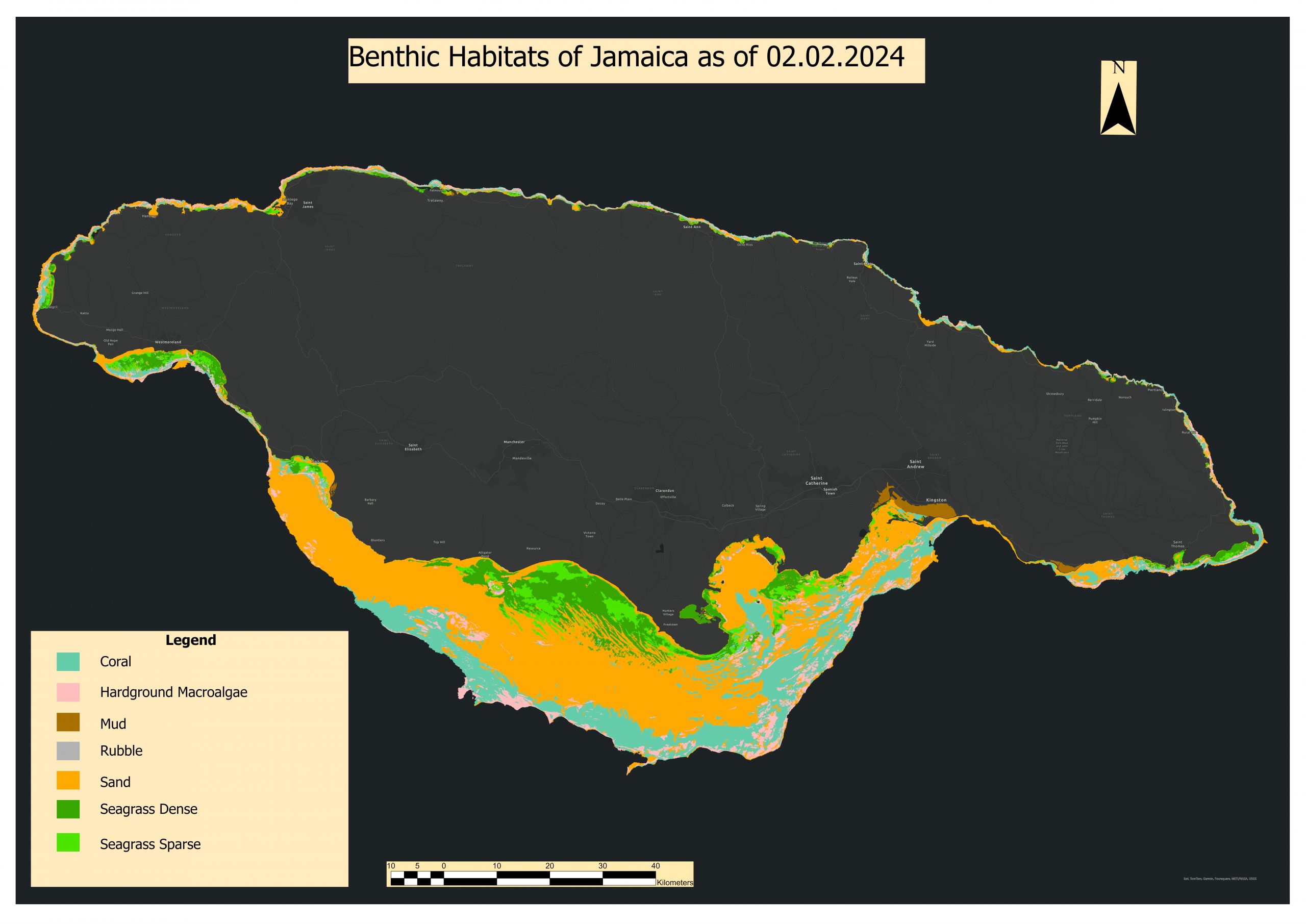
Using drone and satellite imagery, underwater cameras, and local ecological knowledge, the project has produced updated maps of Jamaica’s mangrove, seagrass, and benthic habitats. These tools are critical for identifying reef fish breeding and nursery grounds and will inform marine spatial planning, the designation of new fish sanctuaries, and the management of reef-associated fisheries.
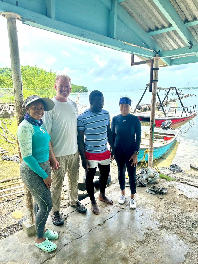
Field validation surveys were conducted across several coastal sites, including Bowden, Half Moon Bay, and Rocky Point, with support from NFA’s vessels, dive teams, and technical staff. The updated maps and data will contribute to Jamaica’s 2025 Nationally Determined Contribution (NDC), as well as help ensure fisheries decisions are based on the best available science.

Stay tuned for more updates as we expand mapping efforts to deeper offshore habitats and strengthen our internal GIS and reef monitoring capabilities.